Tips for cyclists touring Provence, French Riviera and hinterland


Advice of good cycling practices in Provence, Côte d'Azur and Southern Alps

doux-littoral fraiche- montagne

landscapes - climates >
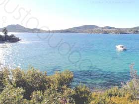
Mild seaside - fresh mountains

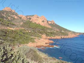
The Côte d'Azur enjoys the very mild Mediterranean climate andthe Var county is the most sunny place in France with 2900 hours per year.

Close to the Italian border, the sublime Massif du Mercantour approaches 3 300 m elevation (Argentera 3297m).
And the Alps dive in the Mediterranean sea east of Nice. The mont Gélas (3143 m) is situated at about 30 miles of the shoreline.

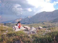
Sea and montains mix together here for the pleasure of nature lovers and amateurs of outdoor sports.
at 25 miles further north of les Arcs, The Verdon has formed its famous gorgeson the foothills of the Alps (Mourre de Chanier 1930 m)...the mountain is there...with a dramatical difference of climate !

The best time to ride a bicycle to discover Provence, Côte d'Azur and Southern Alps

In the plain

All ways of cycling are possible around les Arcs, on the seaside, in both le massif des Maures and le massif de l'Esterel all year round.January and February are the coldest months although frosts, snow and ice conditions are rare. Spring and fall (april to june & september to november) are the best times:
It is not too hot and the roads are not as crowded as in july - august, the peak summer period.

In the upcountry and Verdon area

The climate is more severe and snow falls can change the plans from november to mars.The best time are april, may, june and september october.
Provided that the weather is likely to worsen for a long period from october with thunderstorms and heavy precipitation that usually occur between beginning of october and half december.

In the Southern Alps

Early summer from mid-June (re-opening of alpine passes) to mid-July is the best time to ride the wonderful slope of the Southern Alps:
The days are long, not too hot and the roads are not yet crowded.In July and August, a nice tour can be organised as long as busy passes with cars, motorbikes or large campers inadequate for alpine winding roads are avoided.
Indian Summer September October (with October unsettled) is appreciated too although the tour planned is to be adapted to much shorter days.

Advice to plan a safe route

The right secondary road - the wrong secondary road...

A lot of secondary road is available. Some with heavy traffic, some with very littletraffic.
Also you will notice that car drivers in south of France is not a good example of friendly behavior !

We recommend very strongly to use low traffic roads, usually well maintained and perfect for cycling.
The problem is, some road clearly labelled secondary on the map are actually very busy and dangerous.
It is the reason why it is impossible to plot a wise route with just a map in the hand.

Ask a cyclist from here if you do not know the place !

strictly avoid these roads

If, for some reason, you need to alter your route, do not ride your bike on DN7, D25, D54, D555, D1555 because they are too busy and dangerous, even on the shoulder bicycle lane where you are very likely to find broken bottles and cigarette packs.

road conditions

tracks-footpaths

tracks & footpaths

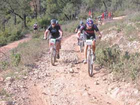
In cross country mountain biking, some tracks may seem very tough and rocky for riders used to smooth tracks in undergrowth where humus has leveled the surface.
By the way, the famous cross country MTB race that take place every year beginning of October is called "Roc d'Azur" !

Old maps

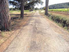
Do not trust old maps as some roads that used to be maintained can only be ridden today with MTB or at least with big tyres. For instance: la Route des Crêtes (ridge road) in the massif des Maures (route Marc Robert).

pierres sur la chaussée racines sous la chaussée

roots underneath the pavement

Some small countryside roads, in some area, are subject to roots that raise the pavement.This may be dangerous dowhill, especialy with a race bicycle.

fallen stones - mountain roads

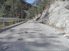
Fallen stones are a real hazard, especially in fast downhill sections of mountain roads with little traffic that are narrow, winding and poorly banked. CAUTION !

Road debris - Highways

Highways here generally have an extra width to include bicycle paved shoulders.It seems like a good idea but the problem is, debris tend to collect in areas where vehicles do not drive, such as on the edges. Therefore the bicycle shoulders turn out to be the best place to get a puncture !
It is why we recommend to riding away from highways.

bad weather

After a period of rain or after a thunderstorm, some roads may have become slippery or damaged. Some sand may have been carried along the pavement. CAUTION !

eau-nourriture

Drinking water - food

The Var is the second most covered county by forest in France. And most of the population lives on the coastline. It means the inland upcountry is somewhere relatively desertic. Off season holidays, it may occur to be riding a bicycle with no fountain and no restaurant for hours.

Weather forecast

There may be wide temperature variations on a same route that runs from Les Arcs through a mountain pass. The weather is very changeable in the moutain; it may be snowing in altitude while one is sunbathing on a beach !
It is recommended (essential from october to june) to check weather forecast of the highest section of the expected route before proceeding onto a mountain pass road.

Emergencies

Dial 112 or other local emergency number - 15 (SAMU = medical emergency), 17 (Police) and 18 (Pompiers = firemen) in the case of fire, accident, road hazard or medical emergency.

traffic restrictions

massif-de-l-estererl

forested areas - fire hazard

When in period of extended drought with strong wind, fire hazard is too high to venture into the forest.
Access rules for the forested areas in Var county are applied from june 21 to september 30.
The map is updated daily at 7pm and shows the risk for each forested area.

re-opening alpine passes

Southern Alps - re-opening of alpine passes

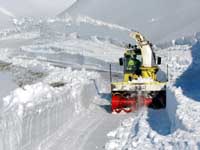
The snow removal of the passes usually occurs from may to mid june.

Checklist to plan your route

ride in the plain

  • From june 21 to september 30, check the map for access in the forested areas
  • Look at weather forecast.
  • Map out your route
  • Check supply points for drinking water & food.

in the mountain

  • Before mid june, check re-opening of alpine passes.
  • Look at weather forecast.
  • Map out your route.
  • check the weather forecast of the highest section of your route > weather-appropriate clothing .
  • Check supply points for drinking water & food.


Take care and ...

Bonne rando !