La Vigne Ă VĂŠlo Les Arcs - Sainte Roseline
Layout

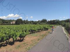
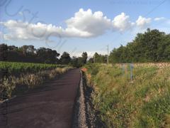
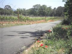
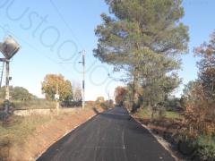
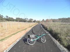
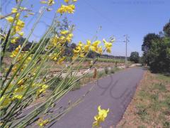
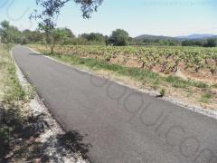
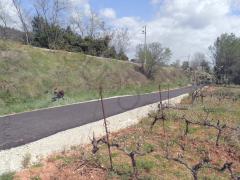
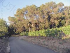
 This stretch (3.9km long and 3m wide of asphalt) is at 90% a separate bicycle path without any motor traffic.
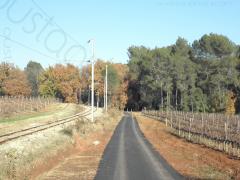
It roughly runs along an almost lost railway in operation between Les Arcs and Draguignan for passenger (1864 - 1981) and used today occasionally between Les Arcs and La Motte for military or freight purposes only.
The photo shows a military train at La Motte-Ste-Roseline. Original by Damien Viano .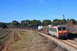
Landscapes
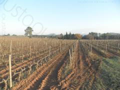
 It comes as no surprise that vineyard is the main theme of
 La Vigne Ă VĂŠlo
.
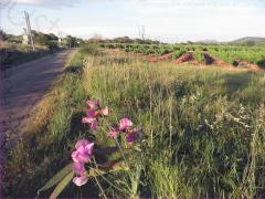
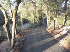
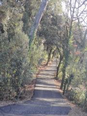
But this section runs also through wonderful woods (Oak - Quercus ilex, Quercus pubescens, Quercus coccifera and Quercus suber; Pine - Pinus halepensis, Pinus pinea, Pinus pinaster and Pinus sylvestris; Maple - Acer pseudoplatanus).
Start point (alt. 78 m)
Rond-point (roundabout) des Deux Cyprès also called âRond point de la Gareâ (Station roundabout). It is the crossroads of D555 and D91 at Les Arcs sur Argens F-83460. The first 500 m is a shared route that follows le âChemin Des BrĂŠguièresâ.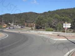
Arrival point (alt. 115 m)
Rond-point (Roundabout) âde Sainte-Roselineâ. It is the crossroads of D1555 and D91 situated between Les Arcs sur Argens F-83460 and La Motte F-83920.
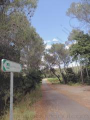
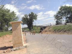
The bicycle routes (a greenway along the vineyard here) junction is located a few metres away from the roundabout heading les Arcs-sur-Argens, after a parking space visible on the first photo. 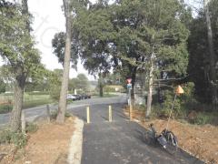
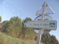
The second photo is the greenway road sign showing the map of the Section Les Arcs > Sainte-Roseline.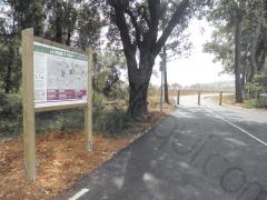
Other access
Riding from the west endpoint the âRond point de la Gareâ (Station roundabout) to the east endpoint the âRond-point de Sainte-Roselineâ, junctions with road network are possible at:
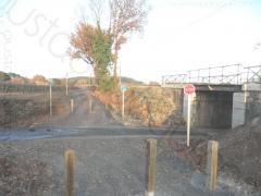
- km 1.5 (Chemin des Valises - alt. 80 m)
- km 1.9 (Chemin des Valises - alt. 84 m)
- km 2.3 (Chemin de Preveire - alt. 84 m)
- km 2.9 (unpaved back road above railway - alt. 95 m)
- km 3.7 (road D91 - alt. 110 m) Note that a loop circuit combining back roads and bicycle path is possible. See CYCLING ROUTES around Les Arcs for further details.
Hot Spots

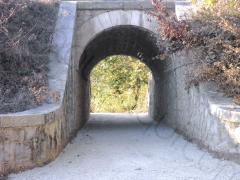

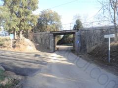

 Between the rond-point (roundabout) des Deux Cyprès and the rond-point de Sainte-Roseline,
 La Vigne à VÊlo
crosses five times under the railway, meets two low traffic secondary roads, pass a small valley and shares accesses to a few private properties.
Facilities
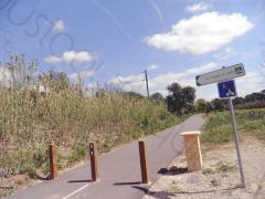
 Tap water point have been set up along the greenway section :
- km 0.7 at the extremity of the greenway section Chemin du Bouillidou
- km 2.3 at the junction with le Chemin de Preveire
 stones will be found along the greenway section for the well-earned rest !
⚠ Safety Tips:
- Wooden poles point out that traffic rules have changed (shared-use / exclusive cycle track)
- The ancient under crossings are narrow: reduce your speed and ring the bell.
- At le Vallon de la Magdeleine the path is a little bit tricky : brake hardly down the hill before the blind turn indicated by the sign.
- The road crossings are zero visibility : stop is required !
How to get to La Vigne Ă VĂŠlo Les Arcs - Sainte Roseline
La Vigne Ă VĂŠlo Les Arcs - Sainte Roseline Endpoints
West Endpoint (GPS N 43° 27' 42 - E 6° 29' 24)Rond-point (roundabout) des Deux Cyprès also called âRond point de la Gareâ (Station roundabout) 83460 Les Arcs sur Argens. It is the crossroads of D555 and D91 (Chemin des Valises) situated at about 900 m east of Les Arcs sur Argens city hall.East Endpoint (GPS N 43° 28' 44 - E 6° 31' 15)Rond-point de Sainte-Roseline. It is the crossroads of D1555 and D91 situated between 83460 Les Arcs sur Argens and 83920 La Motte.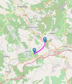
Station Les Arcs Draguignan
❯Vigne Ă VĂŠloLes Arcs - Sainte Roseline West Endpoint : 1100 m easy ride
Get to the rond-point (roundabout) des Deux Cyprès also called âRond point de la Gareâ (Station roundabout). It is basically the crossroads of D555 and D91 (Chemin des Valises) located 1100 m from the station heading towards La Motte (North-East or on the right when going out of the station). 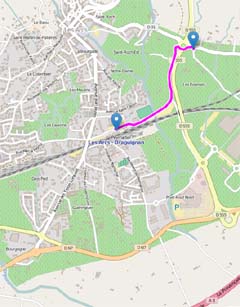
Get to La Vigne Ă VĂŠlo
by train: convenient and fast
- Convenient because you can get on the train with your bicycle on TER trains - no extra cost, no booking required
- Convenient because you can place a reservation for a bicycle to be ready for pick up close to the station.
- fast because TER trains are direct from Nice or Marseille.
- Train station
- Take a ticket to Les Arcs Draguignan (station located between Nice et Marseille)
- Lines
- Ligne 02 Marseille - Toulon - Les Arcs Draguignan
- Ligne 03 Les Arcs Draguignan - Frejus - Saint RaphaĂŤl - Cannes - Nice
- Ligne 06 Marseille - Toulon - Nice - Ventimiglia
- Timetable
- Regional Express Trains (TER)
Les Arcs Draguignan
is a Multi-Modal gare (station) located between Nice et Marseille. It links la DracĂŠnie (Draguignan area), le centre var (var county centre), le Golfe de Saint Tropez (Gulf of Saint Tropez) and le Haut Pays (back country).- Public transport system available:
- All trains (international, national, local)
- Local DracĂŠnie bus network (TEDBUS) and regional (VARLIB)
- All Trains Express RĂŠgionaux, Intervilles, IntercitĂŠs, Corail, long-haul trains stop there.
- The high speed trains are not faster between Nice et Marseille as the line is not designed for.
Highway N7 from Marseille❯Vigne Ă VĂŠloLes Arcs - Sainte Roseline West Endpoint
Exit: Les Arcs
Road to take: D555
Direction to take: Draguignan
Distance from N7 exit: 1,5 km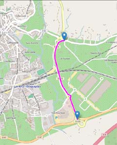
Highway N7 from Nice❯Vigne Ă VĂŠloLes Arcs - Sainte Roseline East Endpoint
Exit: Les Arcs
Road to take: D555
Direction to take: Draguignan
Distance from N7 exit: 2,7 km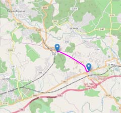
Motorway A8❯Vigne Ă VĂŠloLes Arcs - Sainte Roseline East End
Exit : # 36 Le Muy
Road to take : D1555
Direction to take : Draguignan
Distance from A8 exit : 3,5 km
Services Nearby
This section links to
- la gare (railway station) Les Arcs-Draguignan
- Les Arcs sur Argens town centre
The five other sections of La Vigne Ă VĂŠlo
- Vidauban - Taradeau - Les Arcs
- Les Arcs - Sainte Roseline
- Sainte Roseline - La Motte - Le Muy
- Sainte Roseline - Le Muy
- Draguignan-Trans-en-Provence
- Trans - La Motte


